Role
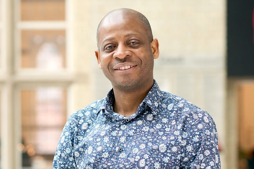
Dr Abdullahi Ahmed Kuta, MCInstCES, FHEA is a Lecturer in the Department of Civil Engineering within the School of Architecture, Design and the Built Environment at Nottingham Trent University.
He is the module leader for Integration of Engineering Applications and Engineering Skills and contributes to the delivery of the Engineering Design Project and Current Practices in Civil Engineering modules. Dr Kuta teaches across a range of digital engineering and geospatial subjects, including GIS, Engineering Surveying, AutoCAD, Revit, and data analysis tools such as Excel, supporting students in the development of practical and industry-relevant skills.
At postgraduate level, Dr Kuta contributes to the MSc Sustainable Civil Engineering Infrastructure programme, bringing expertise in geospatial engineering, Earth Observation, environmental monitoring, sustainable land suitability assessment, and data-driven approaches to infrastructure planning and management. His teaching focuses on the application of digital technologies to address contemporary challenges in civil engineering, sustainability, climate resilience, and infrastructure development.
Career overview
Dr Abdullahi Ahmed Kuta is a geospatial Engineer and civil engineering academic with expertise in Geographic Information Systems (GIS), Remote Sensing, Earth Observation, Engineering Surveying, and spatial data analytics.
He holds an Intermediate Certificate and a Diploma in Land Surveying from Niger State Polytechnic, Zungeru, a National Diploma in Land Surveying from Kaduna Polytechnic, a Bachelor of Technology (BTech) in Surveying and Geoinformatics from the Federal University of Technology, Minna, an MSc in Geographical Information Systems from the University of Leicester, and a PhD in Engineering Surveying and Space Geodesy from the University of Nottingham.
Prior to joining Nottingham Trent University, Dr Kuta gained extensive professional experience in surveying, mapping, geospatial data acquisition, and spatial analysis within the land surveying profession in Nigeria. He has also held academic positions at the Federal University of Technology, Minna, Loughborough University, Derby College, and Coventry University, where he taught surveying, GIS, remote sensing, and geospatial technologies.
His academic and professional experience spans geospatial engineering, environmental monitoring, and sustainable infrastructure development. Through research, teaching, and international collaborations, he applies geospatial technologies and spatial analytics to support evidence-based decision-making for sustainable development, climate resilience, and infrastructure planning.
Research areas
My area of research is in the area of Geospatial Engineering, which encompasses:
- Geospatial Engineering
- GIS and Earth Observation
- Remote Sensing
- Sustainable Land Suitability for Infrastructure Development
- Land Use and Land Cover Change
- Land Surface Temperature (LST) Analysis
- Environmental Monitoring
- Climate Resilience and Adaptation
- Coastal Systems and Natural Resource Management
- Spatial Modelling and Analytics
I am available for PhD supervision in applications geospatial engineering in Civil Engineering, especially those who want to explore the use of programming languages such as Python, R, etc.
External activity
- Fellow of the Higher Education Academy (FHEA).
- Member of the Chartered Institution of Civil Engineering Surveyors (MCInstCES)
- Registered Surveyor with the Surveyors Council of Nigeria (SURCON) and Member of the Nigerian Institution of Surveyor
- Remote Sensing and Photogrammetry Society (RSPSoc).
Publications
Some selected pair-reviewed publications
- Nababa, I. I., Kuta, A. A., Adekola, O., Nwachukwu, J. I., Symeonakis, E., & Cavan, G. (2026). Artisanal fishery and their relationship with mangrove extent, rainfall, and sea surface temperature in the Niger Delta Region. Regional Studies in Marine Science, 98, 105071. https://doi.org/10.1016/j.rsma.2026.10507
- Kuta, A. A., Grebby, S., Boyd, D. S., & Vane, C. H. (2026). Assessing the Impact of Soil Hydrocarbon Properties on Plant Functional Types Using Hyperspectral Data in the Niger Delta. Journal of Marine Science and Engineering, 14(10), 892. https://doi.org/10.3390/jmse14100892
- Kuta, A. A., Grebby, S., & Boyd, D. S. (2025). Remote Monitoring of the Impact of Oil Spills on Vegetation in the Niger Delta, Nigeria. Applied Sciences, 15(1), 338. https://doi.org/10.3390/app15010338
- Kuta, A. A., Opaluwa, Y. D., Zitta, N., Ojatah E. and Ugolo, E. M. (2016), Application of GIS Sieve Mapping and Overlay Techniques for Building Site Suitability Analysis in Part of FUT, Gidan Kwano, Minna, Nigeria, Indian Journal of Science and Technology, ISSN (Online) 0974-5645, Vol 9, No 46, 2016, DOI: 10.17485/ijst/2016/v9i46/107122
- Eyo, E., Bayrak, T., Musa, T., Onuigbo, I., Kuta, A., and Odumosu, J. (2014). Deformation Analysis Based on Designed Experiments and Kalman Filter. Geodetski list,
Conferences
- Ajayi, O. G., Bolarinwa, O. O., Odumosu, J. O. and Kuta, A. A. (2018)Fit-For-Purpose Cadastre: Development of a Geospatial Information Software for Digital Land administration, Commonwealth Association of Surveying and Economy (CASLE) conference, 2018, Developing a sustainable professionalism in surveying & relevant education in the Commonwealth, 29 November - 1 December 2018 Lusaka, Zambia.
- Kuta, A. A, Ajayi, O. G, Osunde, T. J., Ibrahim, P. O., Dada, D. O. and Awwal, A. A. (2018). Investigation of the Robustness of Different Contour Interpolation Models for the Generation of Contour Map and Digital Elevation Models. Contemporary Issues and Sustainable Practices in the Built Environment, School of Environmental Technology Conference, SETIC, 2018, 10 - 12 April 2018, 1527-1541
- Kuta, A. A., Ajayi, O. G., Adesina, E. A., Zitta, N. and Samaila – Ija, H. A. (2016), Land Cover Classification: Comparison between Fuzzy and Boolean Classifier, FIG Working Week 2016, Recovery from Disaster, Christchurch, New Zealand, 2–6 May 2016.